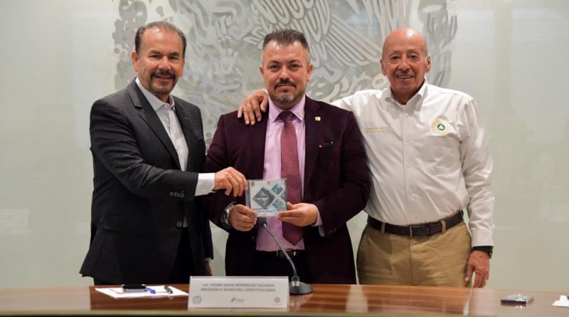
In the State of Mexico, the Government of Atizapán de Zaragoza unveils its municipal risk atlas / @Pedro_RVillegas @GobAtizapan >>>
#Atizapán, #Edoméx.- In the framework of the Permanent Session of the Municipal Council of Civil Protection of Atizapán de Zaragoza, the Municipal Risk Atlas was presented, which contains a total of 161 maps that reflect the danger, vulnerability and risk that exists in the demarcation.
In the presentation of the document, Commander Javier Torres Correa, Head of the Department of Atlas and Integral Risk Management of the Municipal Coordination of Civil Protection of Atizapán de Zaragoza, emphasized that for its elaboration, photogrammetric flights, topographic surveys, field surveys, surveys and house by house visits were carried out to map the entire municipality and to know its weaknesses.
Before the Mayor, Pedro Rodríguez Villegas, who is President of the Municipal Council of Civil Protection, he added that work was coordinated with the different municipal areas such as the Urban and Territorial Development Directorate with the use of CENIT (Territorial Intelligence Center) and the different municipal agencies.
«With the support of all the areas of the Municipal Administration we were able to integrate a document that is divided into 4 titles and 7 chapters in which the social dynamics, the dynamics of urban growth are broken down, we analyzed the issue of vulnerability from all its components and in all its aspects and we have an accurate diagnosis», Torres Correa added.
#MéxicoNewsTv – México Noticias tv